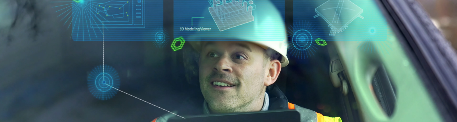
Modern Geographic Mapping Software is revolutionizing the data visualization capabilities available today. Through the combination of innovative data capturing methodologies and geographic information systems (GIS) technology, geographic sites can be fully scanned from top to bottom to render useful, high-resolution maps and models.
Geographical Mapping technology is vital to maintaining accurate spatial data infrastructure. With SiteMap®, our state-of-the-art services extend both above and below ground, providing our customers with the accurate data they need for any mapping, construction, or renovation project vision.

Our modern SiteMap® technology is built on two key pillars; Map Viewer and the Digital Plan Room. While important data files, documentation, and drone footage can be stored in the Digital Plan Room, this important information is visualized and rendered into comprehensive models in Map Viewer. Within Map Viewer, you are able to view geographic data of any project’s facility features and utilities, both above and below ground, and how those features spatially relate to each other. This is a capability exclusive to SiteMap® powered by GPRS.
To provide accurate geographic models, we utilize only the most cutting-edge geographic data collection and mapping software techniques:
UTILITY LOCATING MAPS & MODELS
Utility Locating is a vital service for any project. By utilizing non-destructive, ground penetrating radar (GPR) and EM locators, among other equipment, to scan the subsurface of any given site for utilities. These services can map and model the precise location of numerous underground utilities including…
- Water Lines
- Gas Lines
- Sanitary Sewer
- Storm Sewer
- Electric Lines
- Communication Lines
- Irrigation Lines
- Unknown or Abandoned Pipes
- Underground Storage Tanks
It is crucial to maintain accurate data of all buried utilities and their exact locations. This process not only avoids added costs, it also serves to protect all site employees from potential line strike damage. For this reason, up to date as-built drawings and facility maps are key to the success of any construction or renovation project. With our facility mapping and modeling services, our customers receive accurate data that portray actual site conditions – including any variations, renovations, or unknown pipes – so that there’s no unexpected, costly surprises that arise when projects begin to break ground.
CONCRETE SCANNING MAPS & MODELS
While ground penetrating radar is the most common tool used to clear project areas before saw cutting or core drilling, the scanning equipment used by GPRS goes above and beyond the typical service provided. Our software provides each customer with much more detail such as key slab information including rebar and post-tension spacing and depth, concrete cover and overlay thickness, concrete thickness, and even dowel placement.
GPRS’ ability to completely scan concrete structures in full is not limited by size. Therefore, comprehensive structural analysis can be performed on any site, be it commercial, residential, or industrial, and over any surface such as concrete slabs, walls, columns, and beams.
Once the scanning process is completed, a clear and accurate layout can be created of the vertical and horizontal position of any existing impediments such as post tension cables, rebar, beams, and conduits.
By scanning concrete structures prior to initiating the construction phase, costly change orders are greatly reduced and the redesign process is minimized. Unlike traditional concrete x-ray approaches, our innovative scanning technologies are able to comprehensively evaluate large areas and provide accurate modeling of all findings in detailed field sketches, CAD drawings, and/or 3D models.
VIDEO PIPE INSPECTION MAPS & REPORTS
Video Pipe Investigation (VPI) utilizes industry-leading CCTV cameras to perform sewer pipe inspection services. This NASSCO certified inspection process identifies faults and pipe defects by evaluating underground water, sewer lines, and lateral pipelines.
Our extensive services include cross bore prevention and mitigation, sewer and water inspections, lateral inspections, and manhole inspections. These services utilize modern surveying technology such as Robotic Crawlers (CCTV), Push Cameras, and Lateral Launch cameras to collect, map, and provide a complete NASSCO VPI report mapping each pipe defect, its severity, and video from within the pipe.
GPRS 3D LASER SCANNING MAPS & MODELS
Traditionally, in order to attain a set of drawings from which a 3D model could be created, projects would have to hire an architectural firm to manually collect the required assessments and measurements. This process can be costly, time consuming, and due to human error, often inaccurate up to a full foot.
However, through the 3D laser scanning services provided by GPRS/TruePoint, complete as-builts can be captured in a fraction of the time spent on hand measuring with reliable 2-4 mm accuracy.
In most cases, it only takes 1-2 days for our Project Managers to fully scan a site. From there, our design team can interpret the collected data and generate the comprehensive maps, models, and drawings needed for your project’s success.
This modernized process can assess any location with high precision, allowing our customers to confidently execute their vision in a matter of days instead of weeks or even months. In addition, this process further reduces costs by preventing inaccuracies and mistakes which would call for future redesign work.
The customized 3D Laser scanning solutions provided by GPRS and available via SiteMap® include…
- Point Cloud Creation
- As-Builts
- 3D BIM Modeling
- Clash Detection and Prefabrication
- Mixed Reality Development Models
- Above and Below Ground Data capture
Once all necessary data is collected and modeled by the techniques described, it can then be easily stored and viewed using SiteMap®’s Map Viewer and Digital Plan Room.
With SiteMap®, powered by GPRS, the level of communication and safety on any project is greatly improved, so you can collaborate better. Our services help those looking to Visualize The Built World™ by providing high-resolution, clear maps and models of any site, empowering you to share your plans with subcontractors, designers, engineers, and others using an easy, streamlined approach.
What can we help you visualize? Learn how SiteMap®, powered by GPRS, can provide complete facility visualization and a unique tool to help you collaborate better