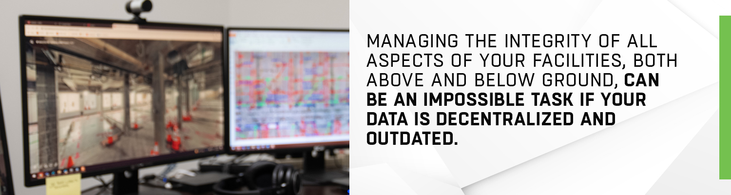
Managing the integrity of all aspects of your facilities, both above and below ground, can be an impossible task if your data is decentralized and outdated. Interactive maps bring order to chaos, expertly combining the layers of your geospatial data. In turn, this analysis can be used to understand the current state of your building or campus, tracking the location and condition of numerous components. It can also help you to plan for future construction projects, while providing your employees and patrons with a safe environment.
What are interactive maps in a geospatial context?
First, it is important to understand the concept of geospatial technology, which includes the collection and analysis of data related to specific geographic locations. Next, we’ll narrow that definition down to GIS (geographic information systems), a subcategory of geospatial that leans on software to generate and display maps and even 3D models. GeoDecisions explains, “All forms of GIS are a type of geospatial technology, but not all geospatial technology is a form of GIS. More specifically, geospatial is a broad term that includes various types of geographic imagery and mapping technology, and GIS is one form of that technology.”
GIS software programs store that geospatial data, letting you view a certain location and all of the features within that location, in relation to each other. GeoDecisions adds, “Giving data a relatable location lets you pull a relationship from it and visualize it to gain a greater depth of understanding than would be possible without the added layers of interactivity GIS provides.”

On an individual level, you may use interactive maps daily.For example, many people utilize them when using a phone app for driving directions.An interactive map that displays GIS data works similarly at its base level, allowing the user to swiftly navigate across geographies, select pinpointed locations, and input data to garner further insights and information. EOS DataAnalytics says, “A traditional map can be well-crafted, but it lacks dynamics and is limited in space and time, acting as a still photo. […] An average interactive GIS map has more to it than meets the eye. It can provide additional nuanced, relevant, and precise data to the user.” These interactive maps include the geographic map, layers of geospatial data, zoom and search functions, images, links, descriptions, and tools such as point plotters to further enhance the visualization.
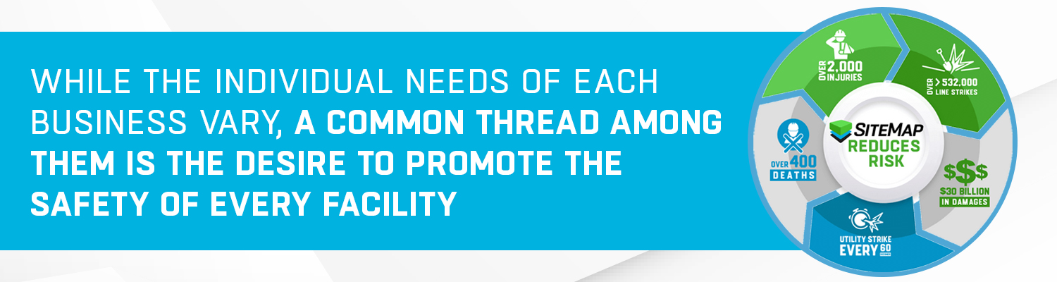
The most common consumers of interactive maps for geospatial data include campuses, office buildings and complexes, municipalities, hospitals, government departments, and manufacturers. While the individual needs of each business vary, a common thread among them is the desire to promote the safety of every facility and construction project within their purview, to consolidate facility-related information both above and below ground, and to be able to access that information from virtually anywhere, including a mobile device.
Three ways that interactive maps benefit your facilities
- Optimizing construction project timelines and costs: When you can properly view the spatial relationships among your buildings and utilities, approaching a new construction or renovation project becomes significantly less daunting. Interactive maps allow you to zoom and pinpoint specific buildings and coordinates of your facility or campus, isolating only the area of focus. With SiteMap® technology, the visualization becomes even clearer, offering calculation of distance and area.
The Map Viewer depicts how structures and utilities exist in relation to each other, removing the guesswork of construction planning by showing the“actual as-built” data, rather than relying on as-built plans that may have changed over time. The DigitalPlan Room elevates this functionality one step further, offering a repository for permits, drawings, and blueprints so that you can confidently access all facility-related documents on-demand, updating it and collaborating with colleagues as you take on your next construction project. Not only does this help your project to stay on task, it avoids the cost of hiring specialists to locate your facilities’ features, utilities, and property lines. It also helps to avoid potential municipal fines, as keeping permits together ensures they are obtained and renewed as needed.
- Promoting safety: An interactive map can help you to see across your facilities, and with the underground visibility provided by SiteMap®, you can view electrical and gas lines, water and sewer pipes, underground storage tanks (USTs),concrete features, and other ground conditions. Without a map of these features, the invisible may turn hazardous in the course of daily operations or construction projects: your team risks tapping into a UST, accidentally running into an electrical line, building on concrete with underground structural issues, and so on. Visibility in an interactive map allows you to keep track of these features, as well as their positioning in relation to each other, thus keeping those within your facility safe.
- Centralizing your GIS data: Instead of your blueprints, drone footage, photos, and other data living scattered across your campus in hard drives and file folders, the mapped layers of your facilities are consolidated into one platform. These layers can be viewed, both individually and as a cohesive whole, within the context of a geographical map. Because all of your site information is linked to the interactive map, it is easy to return and update when you need to add data points or revise the visualization in the future.

Since we are powered by GPRS technology, SiteMap® has GIS experts in-house who are available to answer all of your interactive mapping questions. As innovative leaders in the curation and display of geospatial data, we embody our philosophy, Intelligently Visualize The BuiltWorld™, and we strive to make your facility’s goals our own. When we map the layers of your buildings and utilities—and interact with your team—we develop a deep understanding of your facilities, and can help you to gain a refreshed, informed perspective on how to best build and maintain them.
What can we help you visualize?