Considering any construction or mapping project through a technical lens can provide numerous benefits, streamlining processes being chief among them. However, in today’s construction industry, there is a typical documented disconnect among the parties involved, and a lag in the adoption of new technology that can remedy the divide. “Connected construction” is the term coined to identify where the future of geospatial data and construction projects are heading. Below, we will explain more about the concept of connected construction, the tools that bring it to life, and the ways that SiteMap®, powered by GPRS, fits into these principles.
What does “connected construction” actually mean?
Per Hewlett Packard Enterprise (HPE), “Construction is the world’s largest industry, comprising 13 percent of global GDP.” While construction is necessary to connect places, revitalize infrastructure, expand businesses or complexes, and/or bring buildings up to code, the combined management of all of the moving parts still can have one foot in the past.
HPE continues, “…engineering and construction projects are famously complex and difficult to manage. They must bring together contractors, suppliers, equipment, labor, and supply chains, all within an estimated budget and timeline. Doing this intricate choreography well is almost impossible using manual processes.”
The concept of “connected construction” seeks to eliminate some of these inefficiencies, breaking down operational barriers and unifying processes. A Deloitte study in recent years asserts that the construction industry is lagging in digital transformation strategy, and in the same document, they discuss the kinds of technology that can be useful in bridging this gap:
Robotics: Rovers and drones can be used to inspect certain areas that humans cannot access. GIS Lounge adds, “Robots are also useful in areas difficult to map, particularly if GPS signals are weak. In these cases, robots have georeferenced base maps that they then use to map areas where GPS signals are not usable. The results of this has helped robots also become more useful in navigation and more reliable near buildings and other objects that may disrupt their signal, something that earlier generations of robots often found difficult.”
Automation: Artificial intelligence (AI) can suggest project design optimizations, and also diagnose issues or limitations in geospatial data collection and cloud storage. AI can also automate the visualization and modeling of GIS (geographic information system) mapping data.
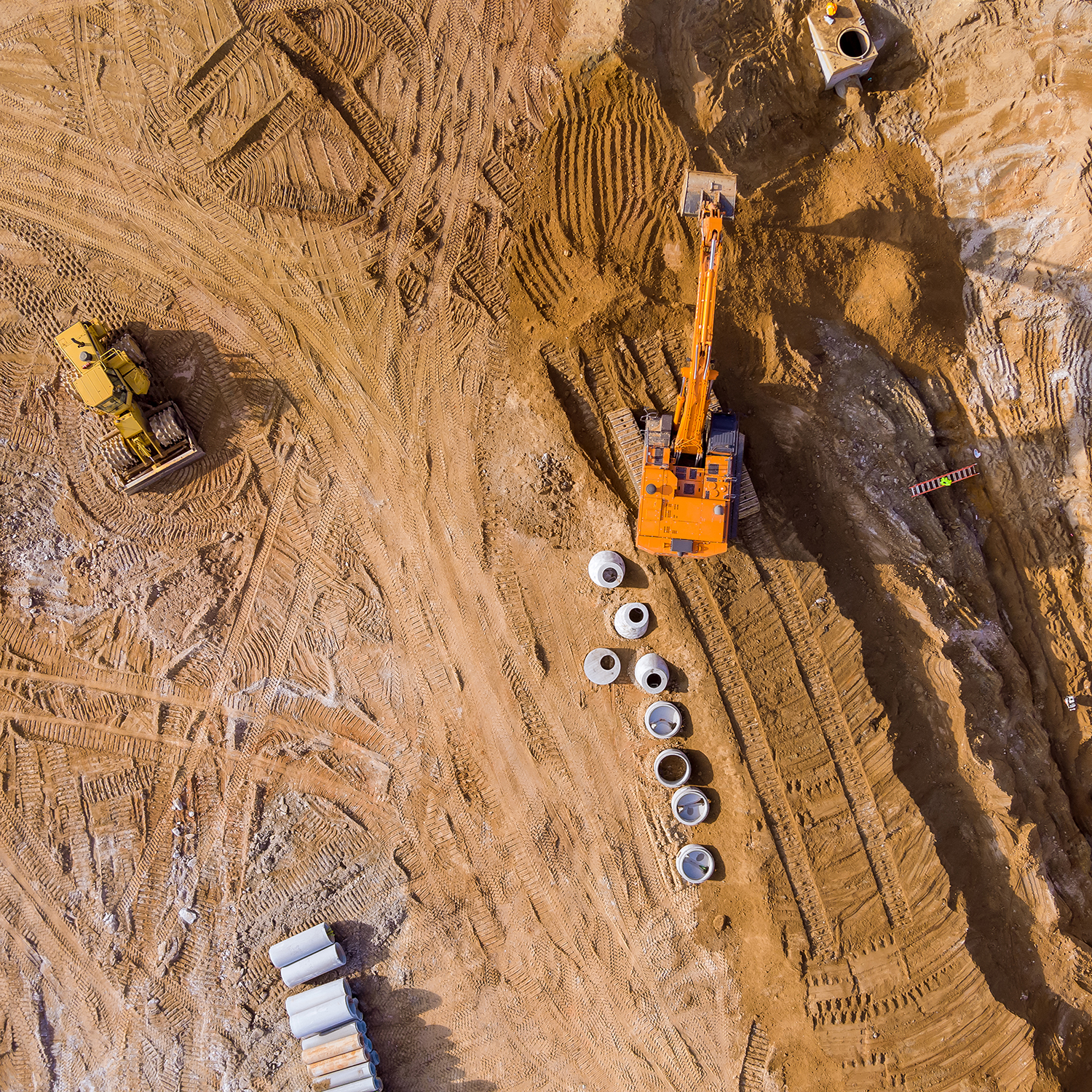
3D printing: GIS is particularly suited for 3D printing and modeling terrain data, as LiDAR (Light Detection and Ranging) can provide remarkable topographical precision. A Medium article advises that this accurate 3D modeling can provide visual credibility when reporting a GIS professional’s findings both above and below ground, as well as when pitching a new construction project. GPRS’ 3D laser scanning professionals use LiDAR “to measure and record precise locations and distances, ultimately producing a point cloud file. These lightweight and mobile scanners produce highly accurate digital measurements and images quickly and easily for use in construction and engineering projects. That data is invaluable in design, prefabrication, asset management, and facility modifications.”
Autonomous vehicles: Self-driving, self-powered vehicles on construction sites can help to keep projects in motion, reducing the dependency on human shift work. The construction continues around the clock, firmly supporting your project deadlines.
Unmanned aerial vehicles (UAVs): In a recent article, we discussed how geospatial infrastructure mapping companies use UAVs or drones: collecting data to maintain up-to-date actual as-builts, gathering readings and camera footage in dangerous environments, and reducing cost from the high expense of older satellite readings.
Virtual and augmented reality (VR/AR): VR and AR can allow viewers to step into project plans and provide training prior to breaking ground on a new construction site. Augmented reality can also superimpose plans on existing features, or even show underground pipes and utility information without having to physically dig to see it. GIS Geography explains, “In construction, sometimes it’s best just to put your 3D model and see how it looks exactly where it’s going to end up. This is why we use augmented reality to understand the visual impacts in architecture and building design. […] But this doesn’t only work for buildings. Think about the placement of transmission towers, wind turbines, and solar panels.” GPRS’ laser scanning uses mixed reality (MR) and AR in contexts such as professional sports venues, helping computer-generated objects to interact with physical reality.
What kind of efficiencies can connected construction drive?
Deloitte says, “A core component of connected construction involves equipping the job sites, machines, and workers with sensors and tags to create visibility from the field, interact with machines and job sites, collaborate with other work packages, create dashboards/reports to monitor progress and maintenance, and perform analytics on process, resource performance, and environmental conditions.” In[1] [2] even more concise terms, SiteMap® recommends data-based geospatial collection, and using some of the above tools can promote:
Collaboration among teams: When all parties involved with a construction or maintenance project have access to the same documents and repository, they can approve plans and avoid pitfalls in collective agreement.
Driving product quality: By using technological capabilities that can overcome human limitations, tools such as drones, autonomous vehicles, and AI can use GIS sensing methods to ensure that actual as-builts are precise, to scan concrete for defects without drilling, to and give educated forecasts that inform construction projects’ workflows, to name just a few.
Meeting deadlines: Whether your teams are swiftly gathering, mapping and displaying GIS data with the use of UAVs, or they are using self-powered autonomous vehicles to continue work overnight at a construction site, the tools of connected construction provide an element of timeliness that can help ensure your project deadlines are met.
SiteMap® functionality helps to deliver results on the principles of connected construction, combining facility and utility data both above and below ground to Visualize The e Built World™ for you and your teams. The helpful, customizable maps in the Map Viewer allow you to calculate relationships among your facilities’ layers, creating an accurate and cohesive model on which your teams can collaborate. The cloud-based nature of SiteMap® means that these efficiencies do not need to be bound to geography or business hours: with the proper credentials you can access this GIS data anytime, from anywhere.
See how SiteMap® is redefining collaboration in connected construction, here.