What is infrastructure mapping?
Infrastructure mapping can be described as the study of physical connectivity on different networks. It is a process of detailed maps that help to visualize your network and is essential for prevention of damage to facilities. These facilities can include networks of buildings, structures, pipes, controls, and equipment. If you are frustrated with disorganized drawings, not having everything in one place, inaccurate information, or change orders, infrastructure mapping can be a useful solution. SiteMap® is a singular subsurface and aboveground infrastructure solution that allows customers to experience facility data with ease. It provides map data, subsurface utility information, and a common source for facility artifacts.

How drones are essential in infrastructure mapping
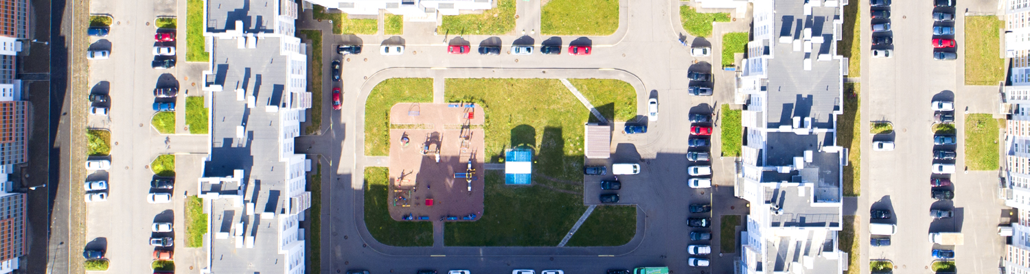
Drones are a useful tool to help map buildings and campuses of all sizes, like universities. They can help to maximize productivity and efficiency on construction sites. They offer vast possibilities and applications in the world of infrastructure. Drone mapping is especially useful when tracking building processes and providing real-time updates. There are multiple other benefits to using drones when mapping buildings. Five of the most important benefits are listed below:
- They offer fast, reproducible, and on-demand image acquisition. They can provide a complete image of the construction site, on-demand and within a few hours.
- They also provide accurate and comprehensive data. These maps allow for accurate measurements of distance, surface, elevations, and volumes. They are also cost and time effective.
- They allow for better documentation and faster reconciliation with subcontractors. Easy and repeated surveying means that a site will have more complete documentation throughout its life cycle.
- The use of drones to map buildings also permits remote access to the most current status of the site. It allows for instant access to the progress of projects to be able to evaluate and discuss.
- Drone mapping offers increased safety. Being able to monitor and inspect places that are hard to reach greatly reduces the workers’ exposure to accidents.
3D Laser Scanning
GPRS offers 3D laser scanning, which allows you to capture complete as-builts in a fraction of the time it would take hand measuring. This enables you to assess any location with precision and execute your vision more efficiently, while also reducing costs. Our 3D laser scanning solutions include: point cloud creation, as-builts, 3D BIM modeling, clash detection and prefabrication, mixed reality development models, and above and below ground data capture. 3D laser scanning is useful both before and after pouring concrete in a construction site. Before pouring, it can scan each area to capture existing conduit, post-tensioning, rebar planning, and sleeves prior to the slab being poured. Using the 3D laser scanner before the pour allows our customers to check existing conditions for any clashes or mistakes. You can also obtain information on overlay thickness, concrete thickness, and even dowel placement. With our ability to scan complete concrete structures, we are not limited by size for our structural analysis.
What happens if infrastructure planning is poor?
If the infrastructure for projects is not operating properly, the chain of production is almost always disrupted. Poor infrastructure planning happens for a number of reasons, such as its complexity and the long duration of projects. Poor infrastructure planning can affect your business, the economy, and the surrounding community. Among the various problems that can occur are difficulty accessing electricity, water, roads, and reliable transportation.
As stated on SiteMap®, it could cost facility management or facility owners $56,000 each time someone can’t find an up-to-date plan or communicates existing facility information incorrectly. A recent study commissioned by GPRS found that around two-thirds of facility managers have experienced such campus damage due to utility strike or other locating issues. On average, facility managers are storing information in four separate locations. Utility line strikes can cause significant damage and result in an extra two to three months of downtime. The primary source of these incidents was due to miscommunication and inaccurate data, which could have been prevented with better infrastructure planning.
The lack of adequate infrastructure planning can hurt your project by causing unnecessary downtime, change orders, and even serious injuries, so it is impossible to overstate its importance in the project life cycle.
How to prevent infrastructure issues with SiteMap®
Infrastructure issues can be easily prevented with the use of SiteMap®. It’s powered by GPRS, the nation’s largest private utility locating company. SiteMap® is a singular subsurface infrastructure mapping solution that allows customers to experience their facility data with ease. It is a geospatial solution that acts as an all-inclusive digital storage space for blueprints, as-built drawings, maintenance logs, permits, and more.
SiteMap® can find solutions to disorganized drawings, inaccurate information, change orders, and siloed information. SiteMap® significantly reduces risk for building sites and helps to reduce construction budget overruns as well. SiteMap consists of two important features, the Digital Plan Room and the Map Viewer.
The Digital Plan Room acts as a central repository for facility documents: a secure place for file storage, historical drawings, site photos, drone footage, 3D BIM models, CAD drawings, utility maps, and digitized blueprints. All these items can be annotated and geolocated to the specific site or facility, and further geolocated within the facility itself.
The Map Viewer makes viewing facility data easy and enables the user to attach locational data to specific uploaded documents. With the Map Viewer, a facility manager can track and designate documents quickly. It adds viewable and searchable maps, a 3D modeling viewer, and lets you tag specific site features to the map. The Map Viewer is interconnected, collaborative, and empowering. Infrastructure should be accurately mapped, digitally stored, and easily accessible and SiteMap® allows for each of these things to occur with ease.
Safety and best practices when building
Safety is crucial when it comes to building or plotting existing structures. This process should be met with safety and security measures put in place to ensure the wellbeing of owners, architects, engineers, and other stakeholders. There should be a balance of operational, technical, and physical safety methods in place. This can be achieved through complying with occupational protective regulations (OSHA guidelines), communication among building residents, and maintaining a safe work area. SiteMap® can be used to inspect underground water pipes and lateral pipes to find structural faults and defects, and also conduct sewer line inspections.
One of the major hazards when excavating is underground utilities. You need a well thought out plan in place before starting any project. To avoid utility line strikes, a number of precautions should be in place.
- Call 811 to have utility lines marked before digging. It is the law. However, One Call only locates public utilities, and does not provide depths on those lines.
- To gain complete utility locates and subsurface mapping, use private utility locators who employ ground penetrating radar, electromagnetic locating, and other methods. This provides subsurface as-builts before anyone breaks ground.
- Do not excavate or use pointed tools within the tolerance zone around marked utilities. Learn more about subsurface infrastructure mapping here.
Infrastructure mapping is crucial for any projects or builds, and there should be extensive precautions in place to allow for the safest and most cost-effective environment. SiteMap® simplifies facility management by providing its users with an all-in-one solution to any infrastructure issues that may arise.