In a recent article published by Autodesk Inc., 3D laser scanning, “also known as high-definition surveying (HDS) or reality capture,” was described as a “means of using a laser to map an area with high accuracy,” for a given construction project. 3D laser scanning and mapping methodologies are commonly used to capture the most accurate and detailed data, accounting “for every nook and cranny on a site.” This technology is applicable all throughout the design, construction, operations, retrofits, and renovations stages of any construction project’s lifecycle.
Data collected from this process then provides facility managers, engineers, and other construction professionals with what is known as a point cloud. This is a database, which connects points within a 3D coordinate system, maintaining an “extremely accurate digital record of an object or space as it pertains to a project.”
Given their ability to improve quality and accuracy, provide immediate information, reduce manual labor, streamline coordinating, and greatly cut costs, it’s no surprise that 3D laser scanning techniques have grown in popularity over the past few years.
In an interview with Aaron Seymour of the Rudolph Libbe Group , Seymour explained how the TruePoint 3D Laser Scanning Service provided by GPRS is his choice measurement method for any construction project he’s assigned because it can save on time-consuming measurements and greatly cut costs. He elaborates on the fact that, “without the laser scanning capabilities that TruePoint/GPRS provide, we would have to hire an architect that would have to go through and do manual assessments and measurements in order to provide us with a set of drawings that we can actually build off of,” which is a far more expensive and lengthy process.
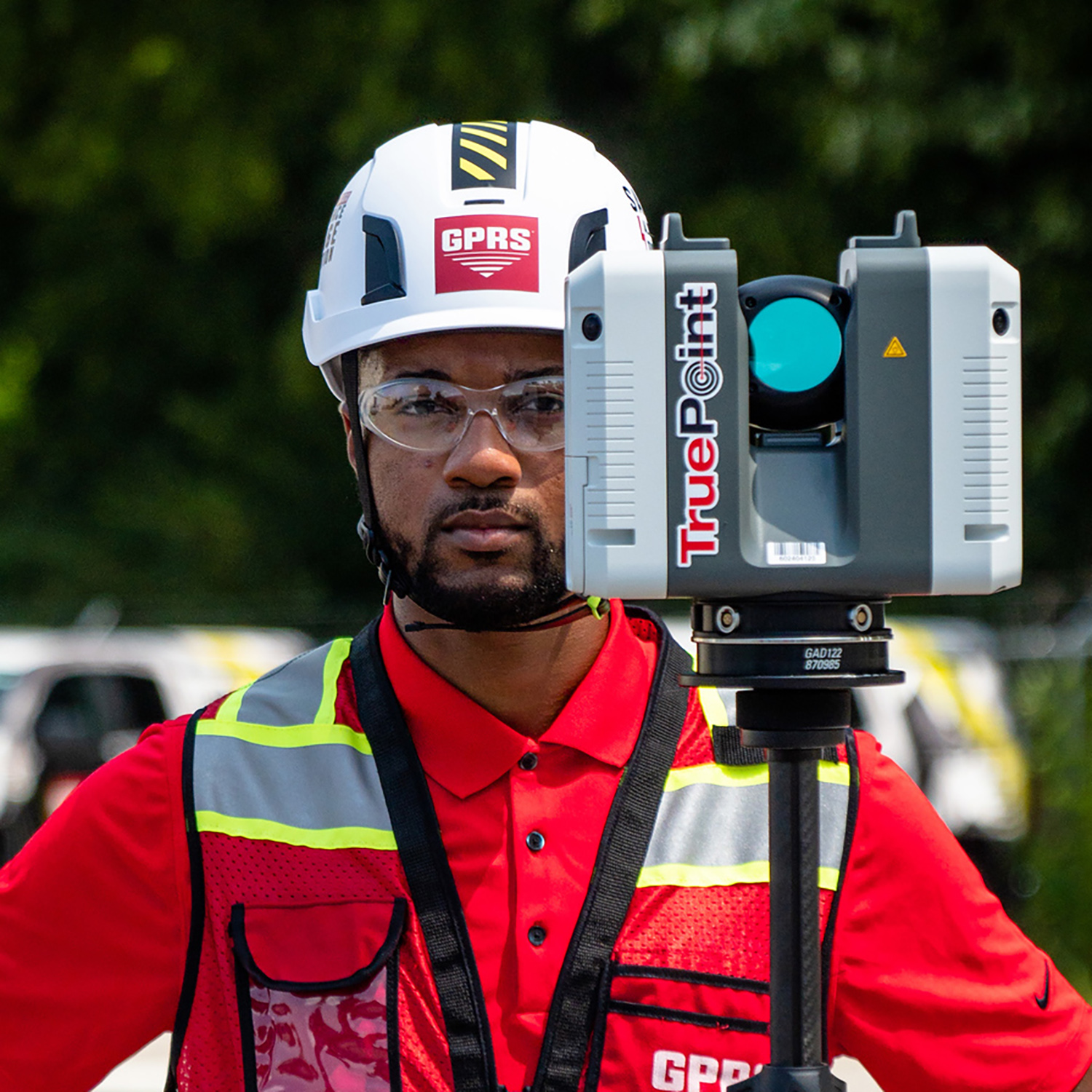
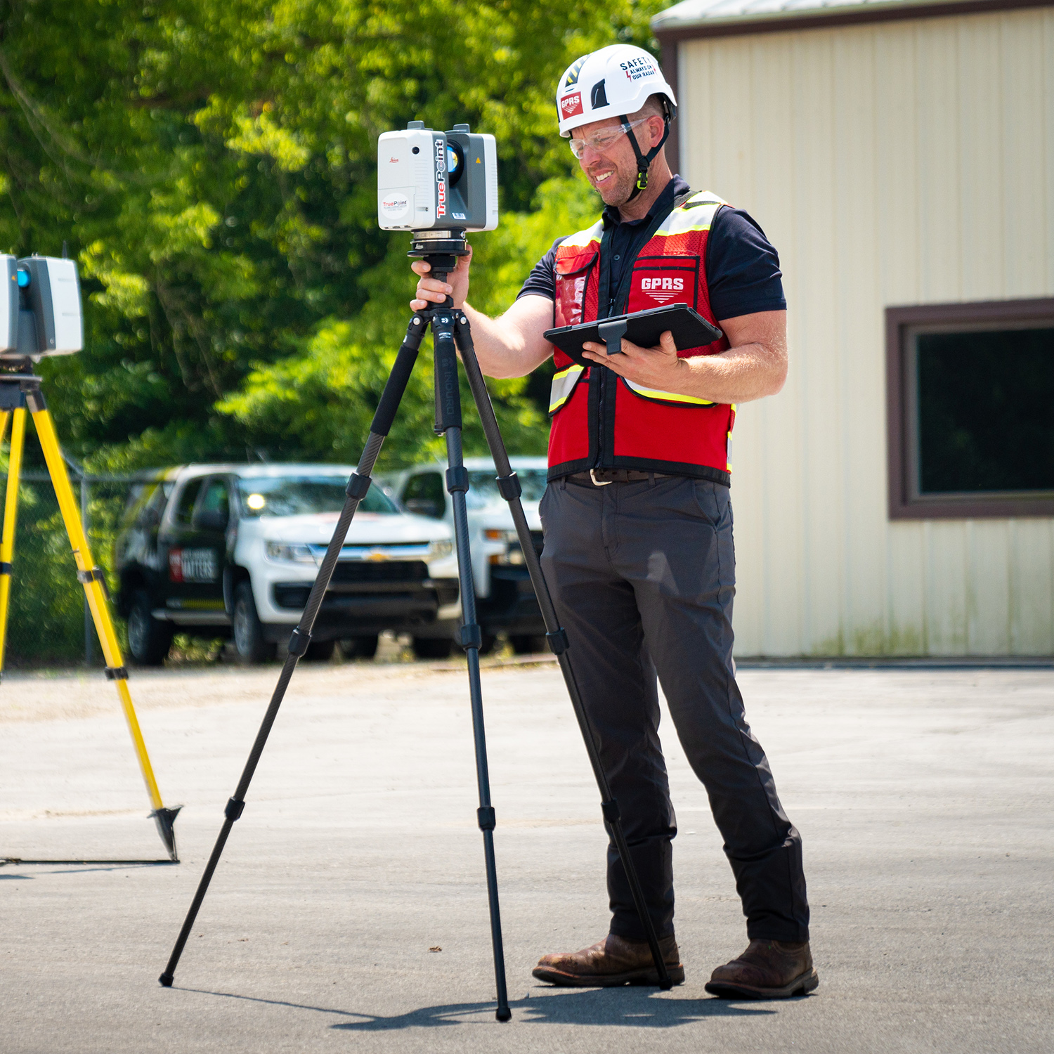
However, using the modern techniques of TruePoint Laser Scanning, a GPRS company, we help project managers like Aaron fully Visualize The Built World™ both above and below ground. Once all necessary data is collected and modeled by our modern 3D laser techniques, it can then be easily stored and viewed using SiteMap®’s Map Viewer and Digital Plan Room features.
There are three major ways in which the 3D laser scanning and modeling through SiteMap® by GPRS can eliminate unnecessary costs for your construction project…
- Measurement Accuracy
With more traditional methods of job site measurements, general contractors usually have to hire an architectural firm to come in and manually collect all of the required measurements needed to create a set of drawings from which any construction planning and 3D modeling could be made.
However, this process has a very high chance of human error given that all measurements are taken and recorded by hand. This often results in inaccuracy up to a full foot, and therefore, major redesign costs later down the line after construction has already begun and such oversights stall any further progress.
On the other hand, with the TruePoint 3D Laser Scanning Services provided by GPRS, complete as-builts can be captured with a far more reliable 2-4 mm level of accuracy, eliminating the inevitable redesign costs associated with traditional hand measurement techniques.
- Efficient, Time-Saving Data Collection
Typical hand measuring techniques can take months if not years to be completed. Such delays can be very costly and greatly jeopardize the success of any project.
However, using 3D laser scanning technology, it will only take about 1-2 days in most cases for our Project Managers to completely scan a job site. Afterwards, our professional design team can interpret the collected data to accurately generate the comprehensive maps, models, and drawings your project needs to move forward.
This modernized process can assess any location with high precision, allowing our customers to confidently execute their vision in a matter of days instead of weeks or even months.
- Customizable 3D Modeling Capabilities with SiteMap®
3D laser scanning is also great at minimizing cost particularly because of its flexible, customizable approach to evaluating and modeling a variety of construction sites.
With the state-of-the-art geographical mapping and modeling capabilities unique to SiteMap®’s modern software, no project is too big and no site is too complex. Whatever innovative designs you are looking to visualize, we’re here to help provide you with the most accurate digital tools you need for success.
SiteMap® powered by GPRS is proud to provide the following customizable 3D laser scanning solutions for all your project’s needs…
- Point Cloud Creation
- As-Builts
- 3D BIM Modeling
- Clash Detection and Prefabrication
- Mixed Reality Development Models
- Above and Below Ground Data Capture
With SiteMap®, powered by GPRS, you can confidently plan and execute any project knowing our services provide the most accurate systems required to keep you and your team on time, on budget, and safe. We help those looking to Visualize The Built World™ by creating the most detailed maps and models for a fully comprehensive representation of their entire site, both above and below ground.
We aim to empower our customers with the tools they need to share their plans with subcontractors, designers, engineers, and others using an easy, streamlined approach. Learn more about how SiteMap® can save your project time and money while providing the most accurate results by downloading our brochures, and contacting us for a quote today!